Log in
All resources
Create a design
40,080 Free Images of 1890 Maps
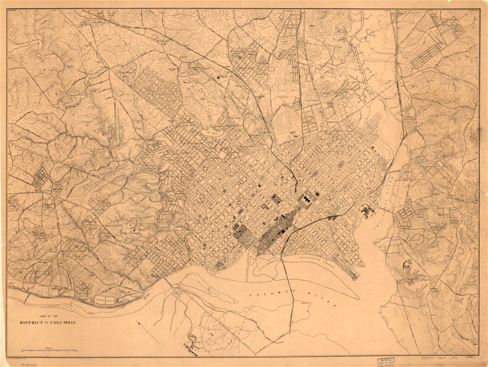
maps in the library of congress
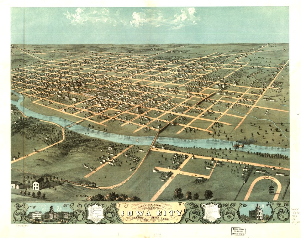
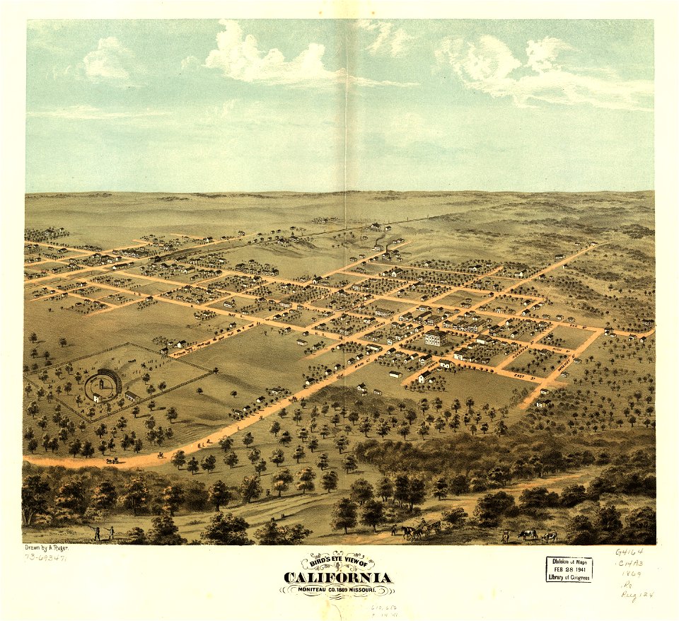
albert ruger
maps of the west-indische compagnie
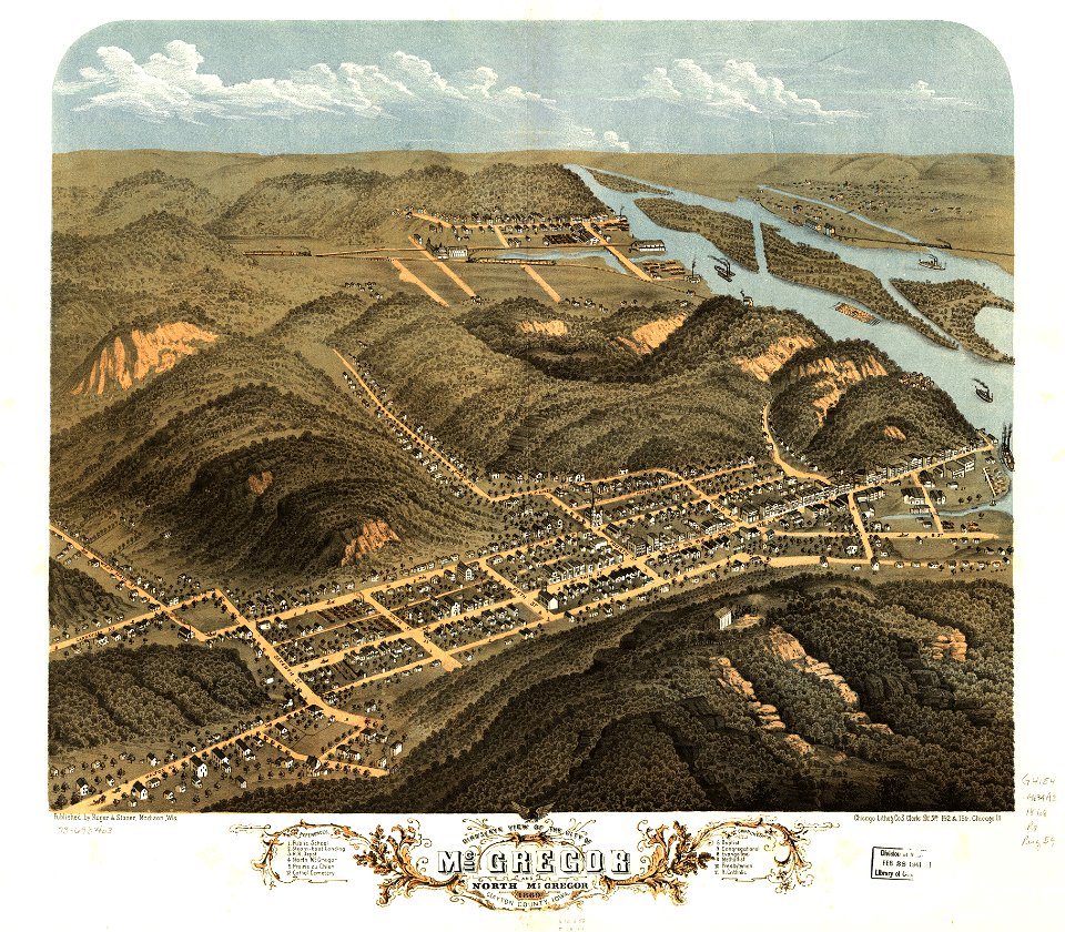
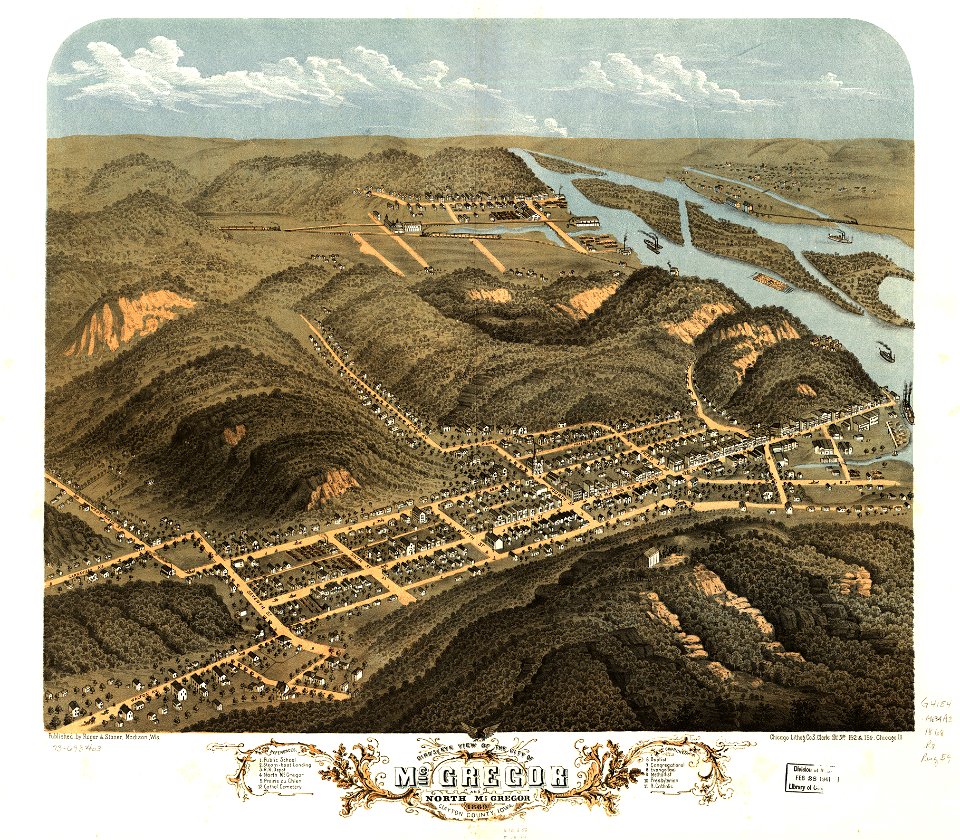
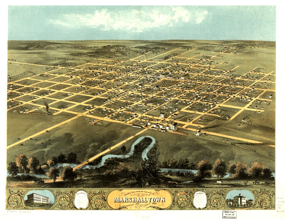
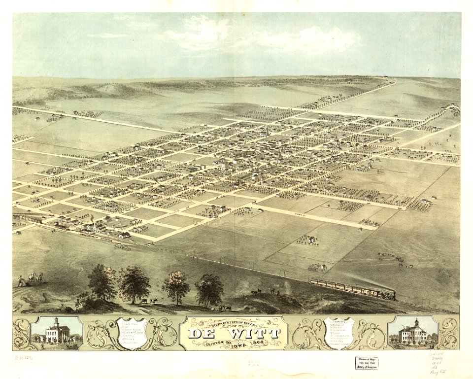
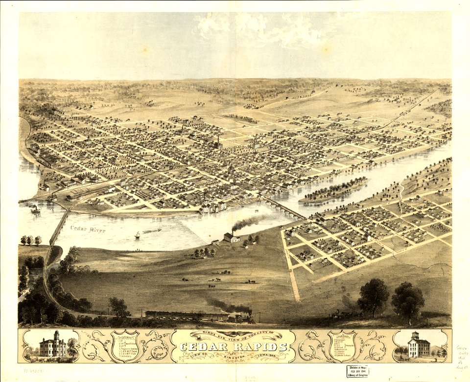
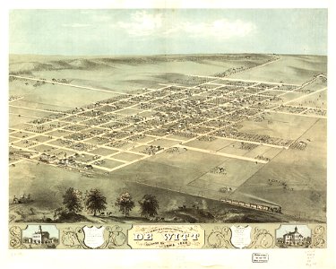
1868 maps of iowa
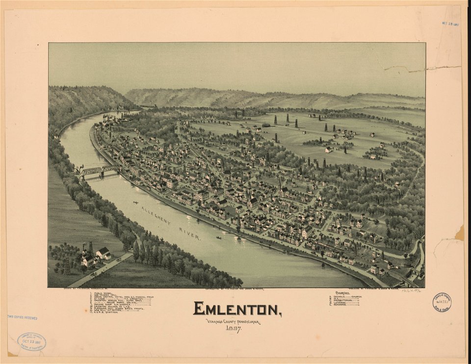
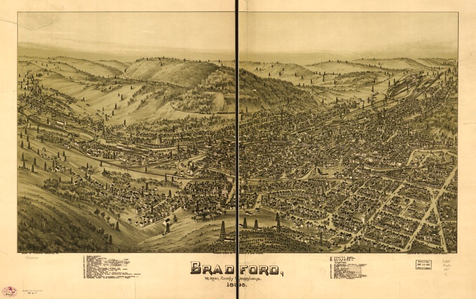
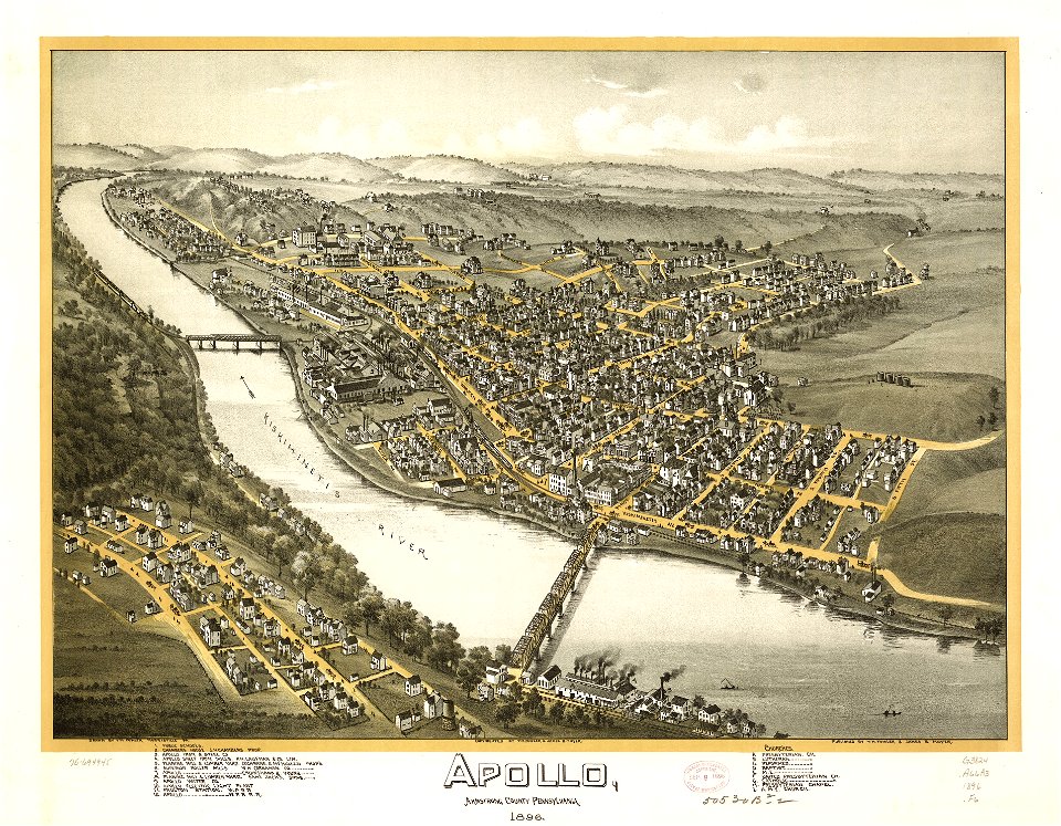
pennsylvania
charts and maps of the royal museums greenwich
1665
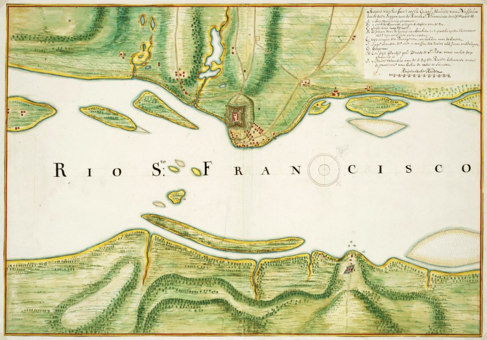
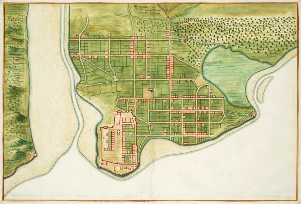
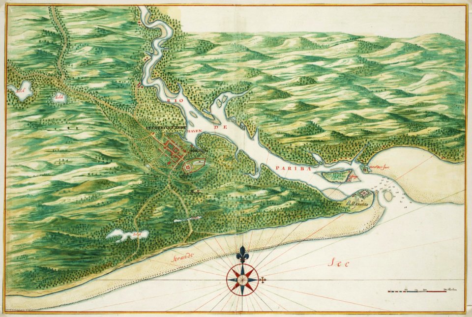
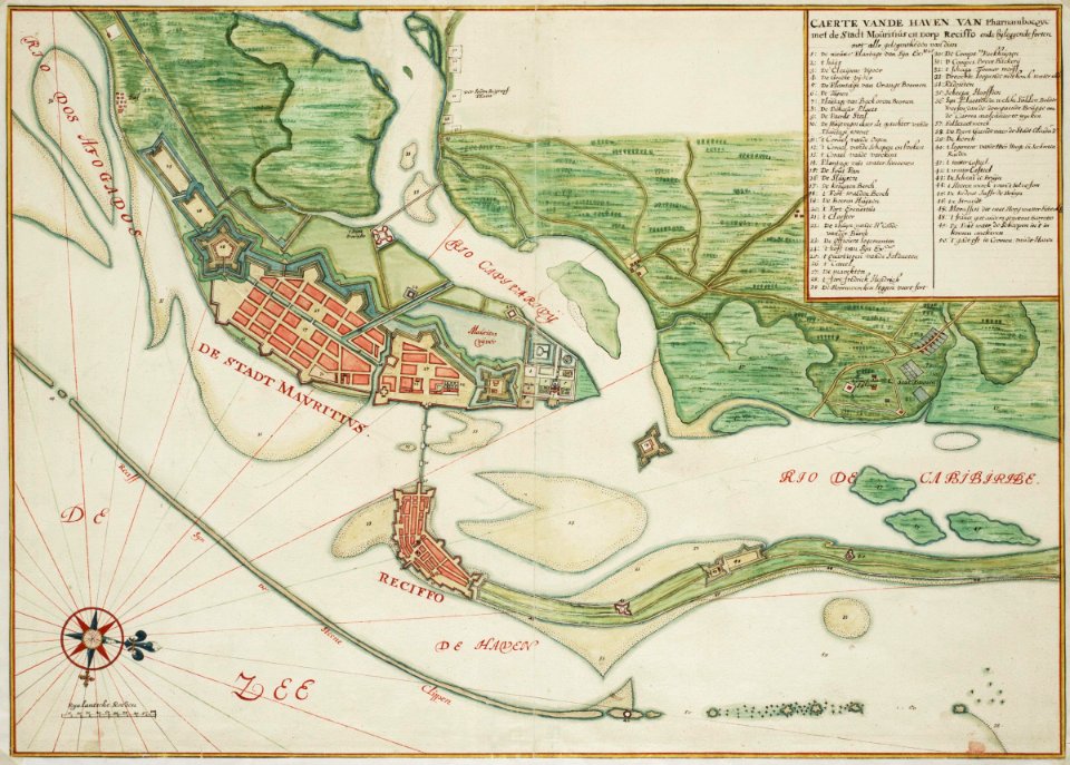
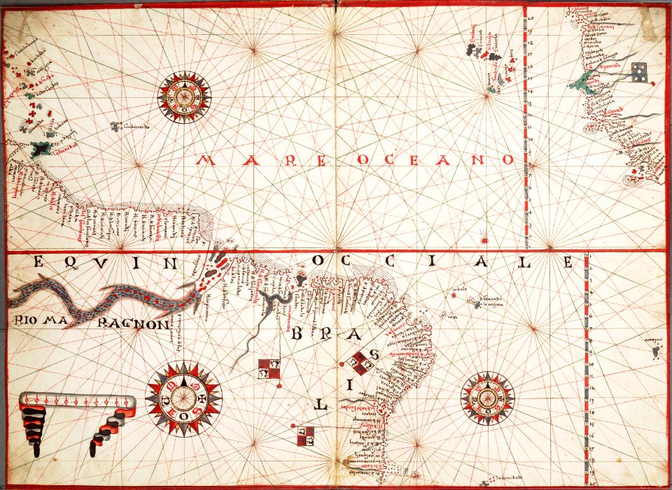
old maps of dutch brazil
karl spruner von merz
description de l'universe
bird's eye view maps of pennsylvania
pennsylvania
pennsylvania
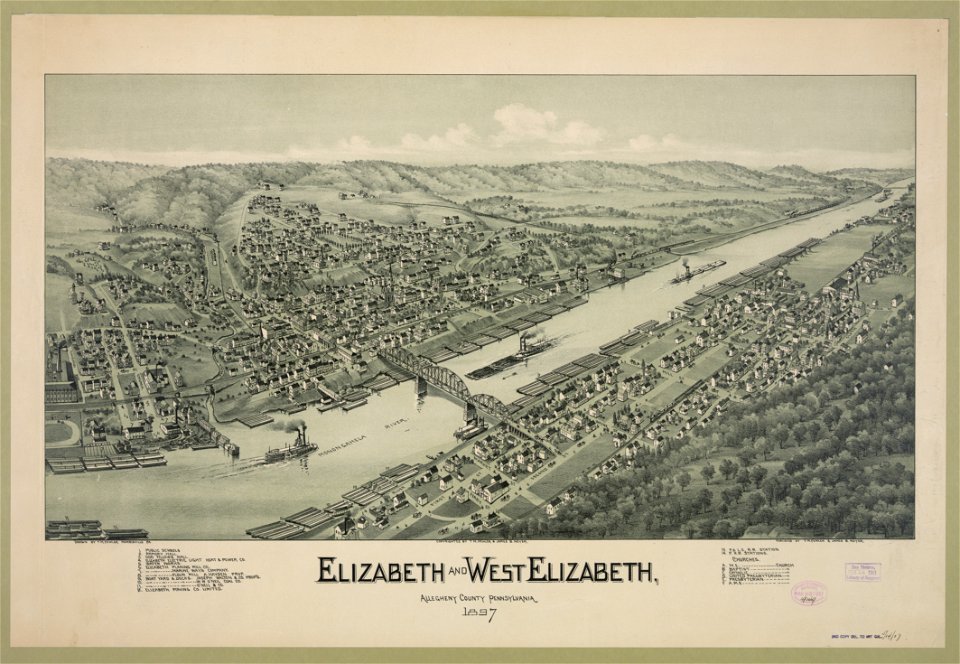
elizabeth
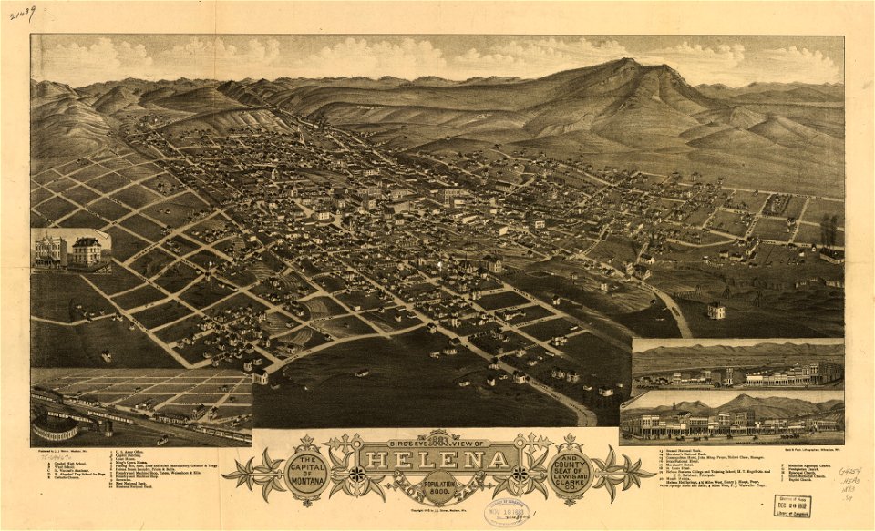
montana
helena
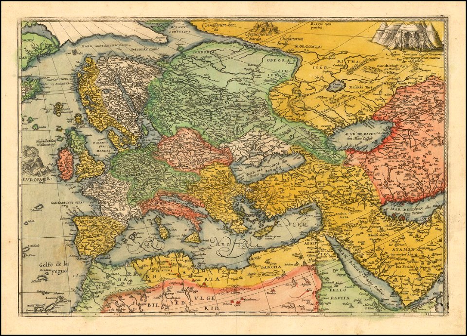
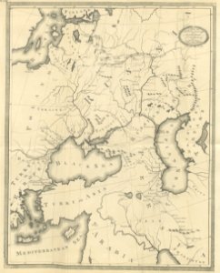
1570s maps of europe
frans hogenberg
engravings by matthäus merian
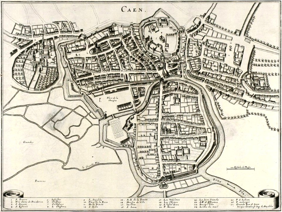
old maps of caen
franciscan cadastral maps of slovenia
cekin mansion
charts and maps of the royal museums greenwich
maps composed of gores
charts and maps of the royal museums greenwich
maps composed of gores
charts and maps of the royal museums greenwich
1572 maps
charte von schwaben (bohnenberger)
19th-century maps of bavaria
maps in the library of congress
albert ruger
maps in the library of congress
albert ruger
maps in the library of congress
albert ruger
maps in the library of congress
albert ruger
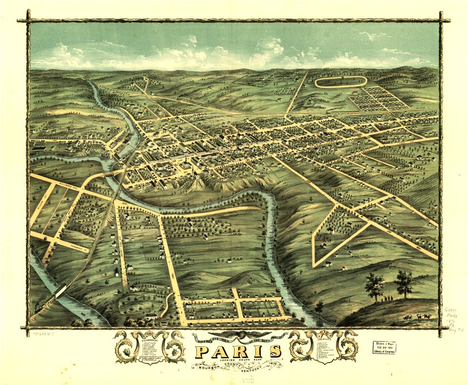
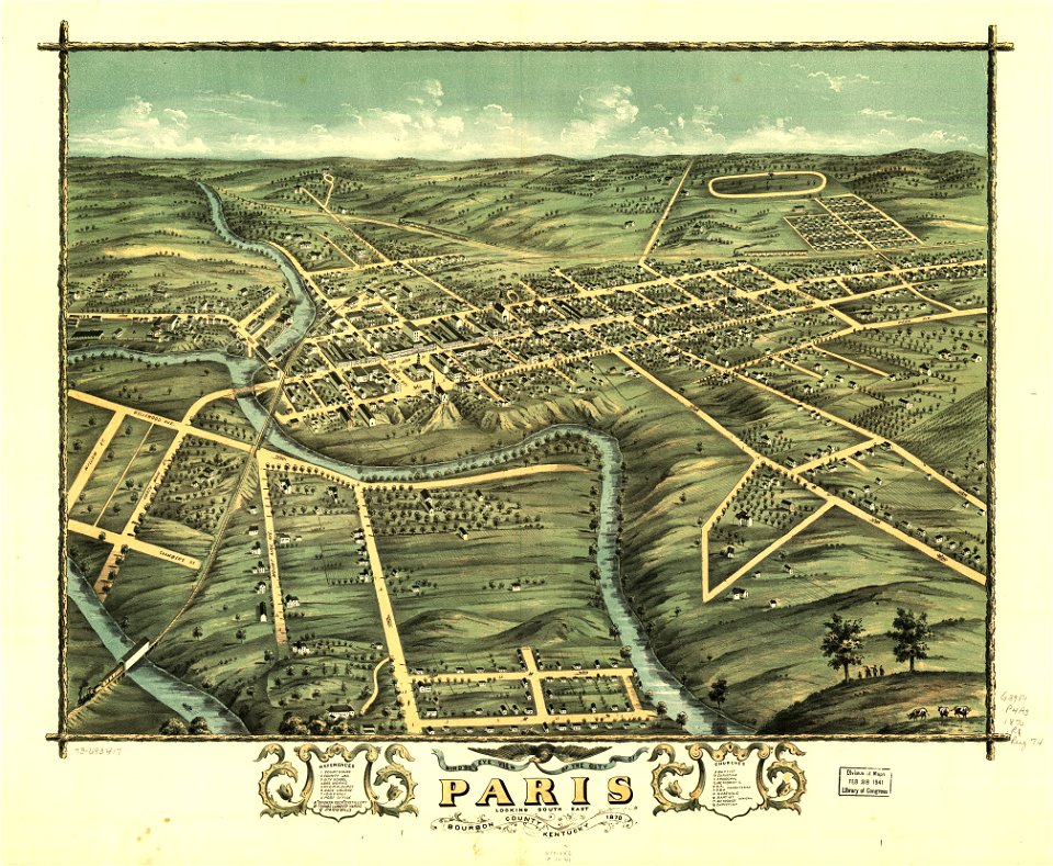
kentucky
paris
maps in the library of congress
albert ruger
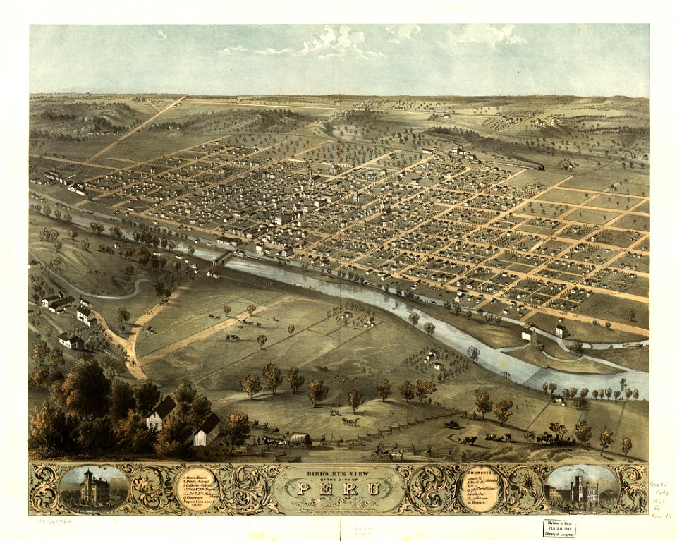
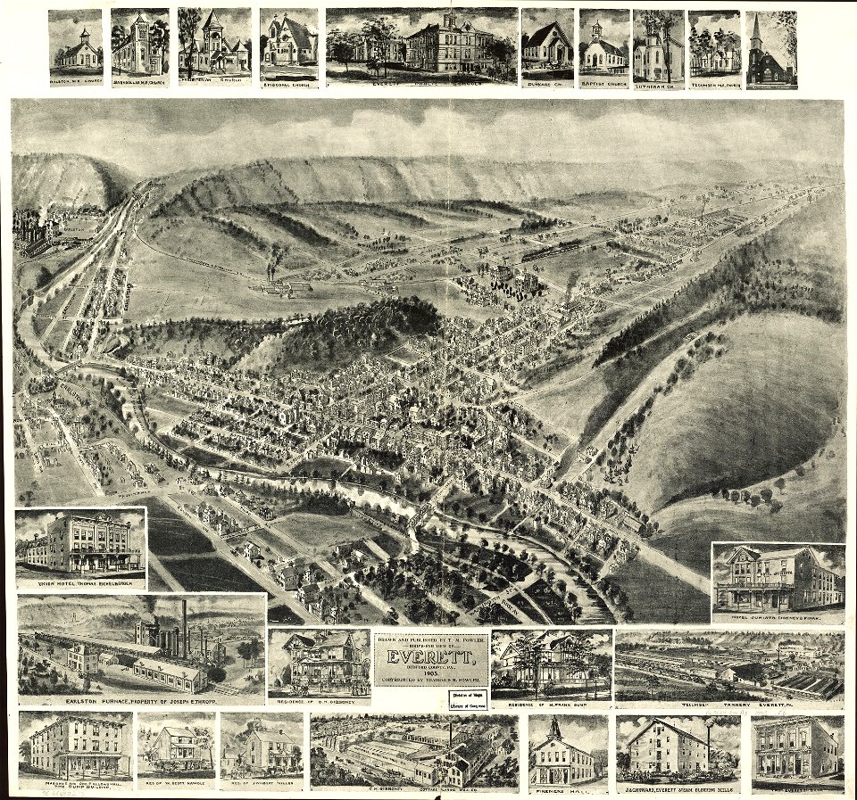
indiana
peru
maps in the library of congress
albert ruger
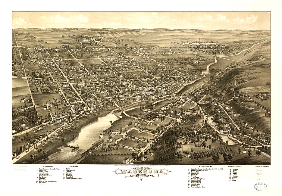
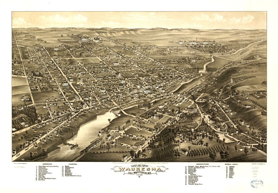
wisconsin
waukesha
kentucky
paris
maps in the library of congress
pennsylvania
wisconsin
waukesha
maps in the library of congress
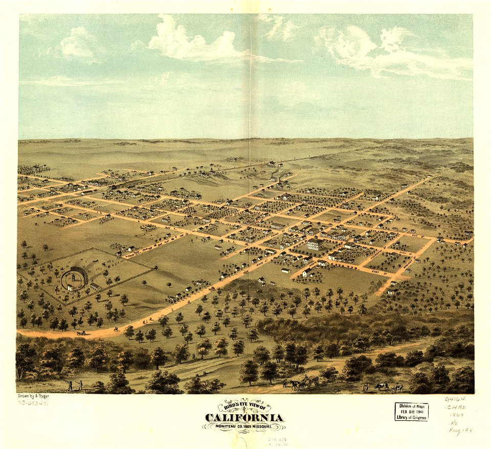
albert ruger
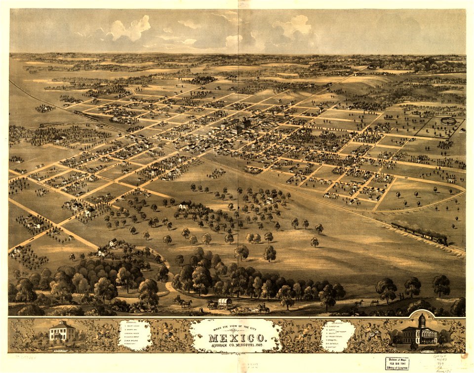
missouri
mexico
indiana
peru
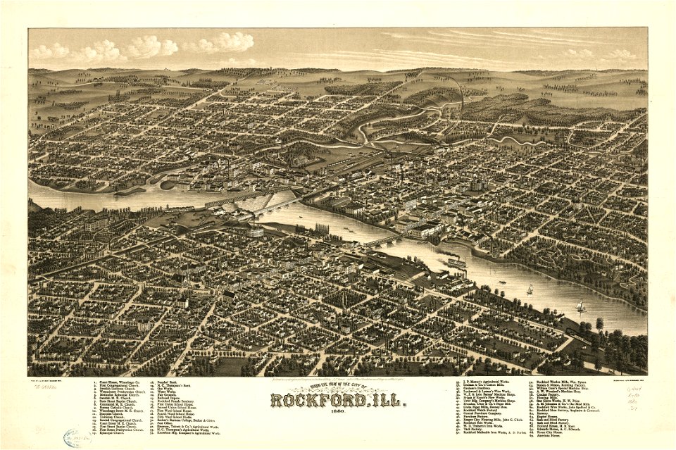
illinois
rockford
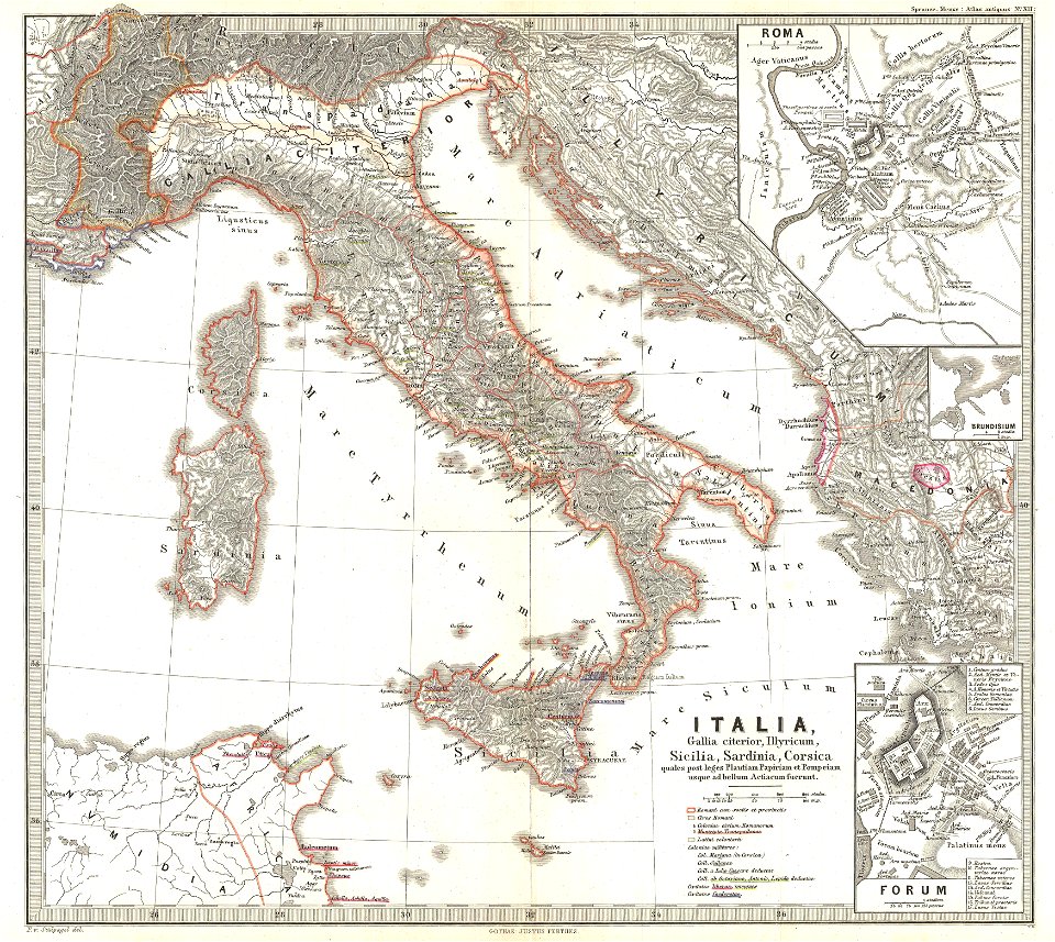
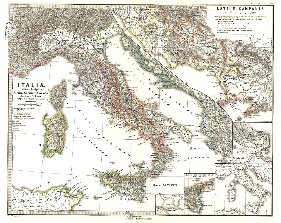
karl spruner von merz
old maps of italy
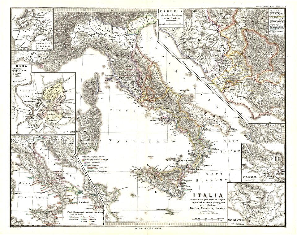
karl spruner von merz
old maps of italy
karl spruner von merz
old maps of italy
maps by joseph hutchins colton
1855 maps of ontario
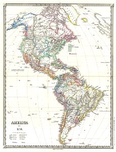
19th-century maps of the americas
karl spruner von merz
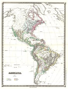
19th-century maps of the americas
karl spruner von merz
maps by joseph hutchins colton
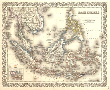
1855 maps of indonesia
maps in the library of congress
pennsylvania
illinois
rockford
maps in the library of congress
albert ruger
maps in the library of congress
albert ruger
maps in the library of congress
albert ruger
maps in the library of congress
albert ruger
maps of the west-indische compagnie
1745
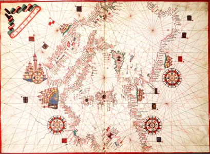
16th-century maps of south america
1596 maps
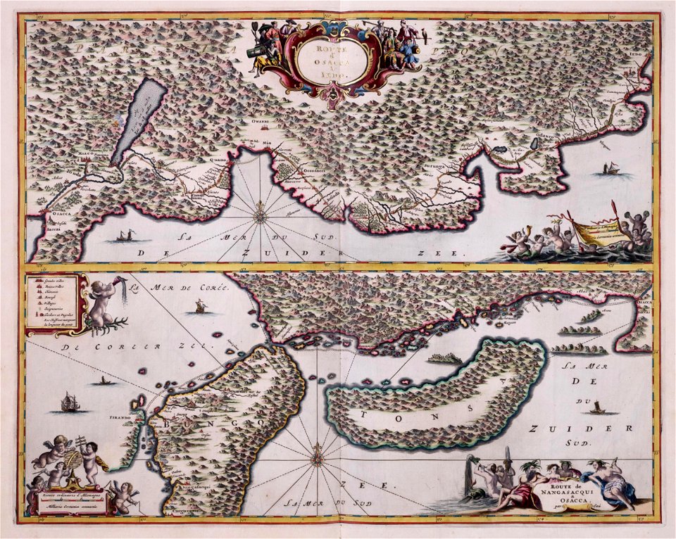
maps of the dutch east india company - japan
arnoldus montanus
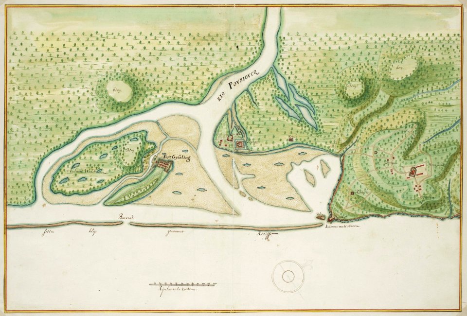
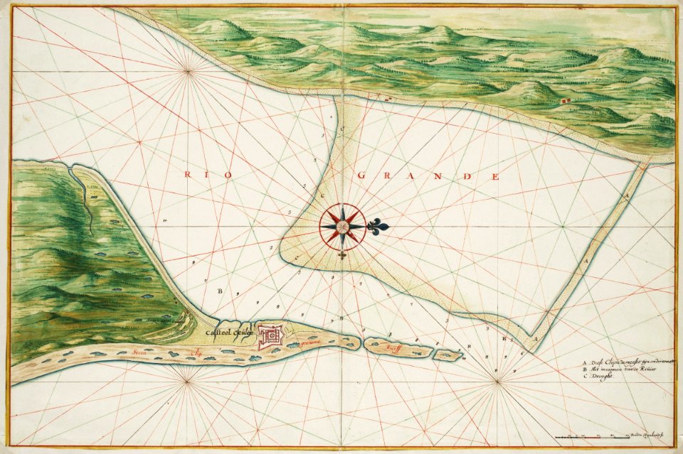
maps of the west-indische compagnie
1665
maps of the west-indische compagnie
1665
maps of the west-indische compagnie
1665
maps of the west-indische compagnie
1665
maps of the west-indische compagnie
1665
maps of the west-indische compagnie
1665
maps of the west-indische compagnie
1665
maps of the west-indische compagnie
1770
maps of the dutch east india company - india
1726 maps
maps of the west-indische compagnie
1720s
maps of the west-indische compagnie
1747)
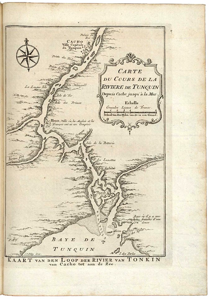
trịnh lords
1753 maps
charts and maps of the royal museums greenwich
1572 maps
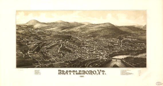
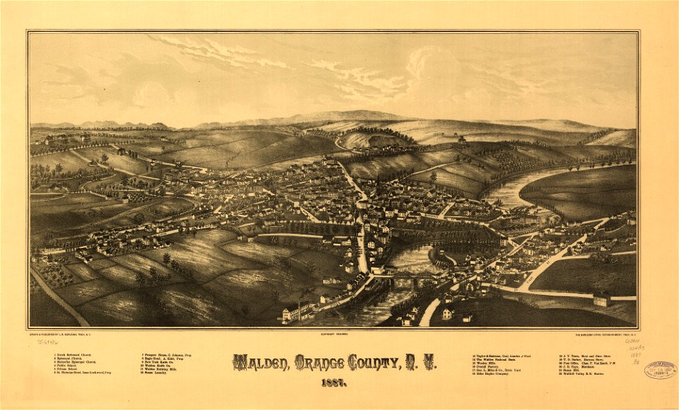
brattleboro
vermont
maps in the library of congress
pennsylvania
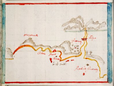
old maps of the indian ocean
jan huygen van linschoten
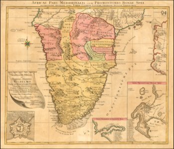
old maps of south africa
tobias conrad lotter
maps from the mechanical curator collection
1806 books
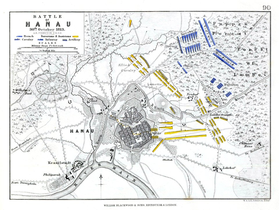
battle of hanau
maps of hanau
maps in the library of congress
pennsylvania
maps in the library of congress
pennsylvania
charts and maps of the royal museums greenwich
pearl islands
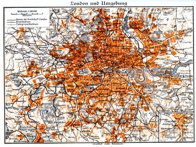
der neue brockhaus 1937
maps by brockhaus
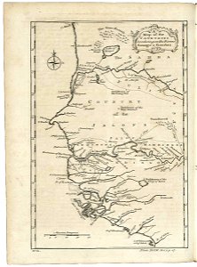
18th-century maps of india
old maps of tibet
maps in the library of congress
pennsylvania
maps in the library of congress
pennsylvania
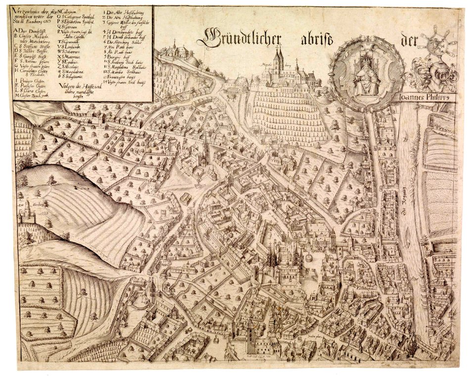
collections of staatsbibliothek bamberg
history of bamberg
johann baptist homann
latin-language maps
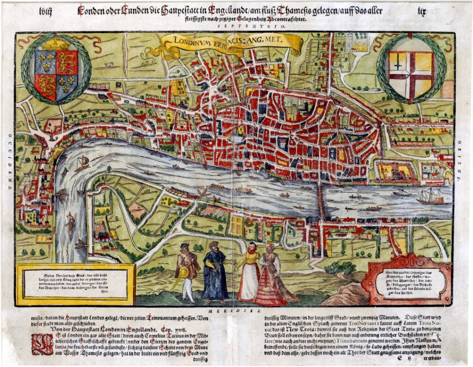
maps of london by sebastian münster
1598 maps of europe
maps in the library of congress
albert ruger
fonds ancely - bibliothèque municipale de toulouse - maps
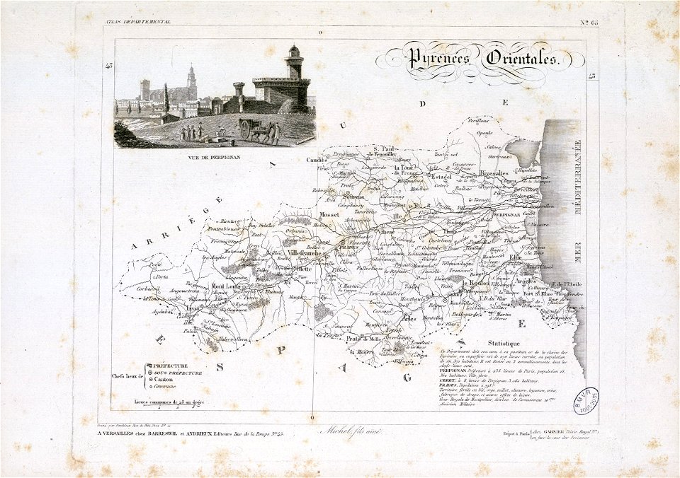
old maps of pyrénées-orientales
collections of mart
engraving
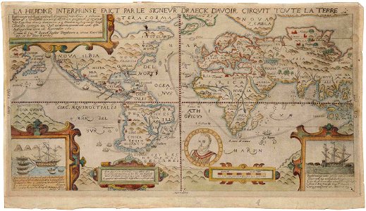
1590s maps of the world
francis drake
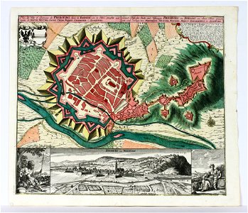
old maps of freiburg im breisgau
maps by matthäus seutter
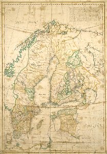
17th-century maps of finland
17th-century maps of estonia
charts and maps of the royal museums greenwich
1682 maps
charts and maps of the royal museums greenwich
1682 maps
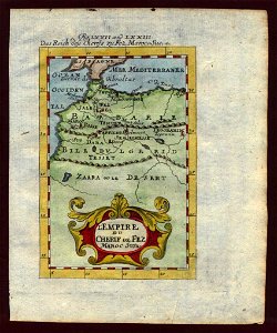
description de l'universe
1719 maps of africa
description de l'universe
1683 maps of africa
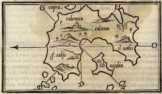
maps by benedetto bordon
kalymnos
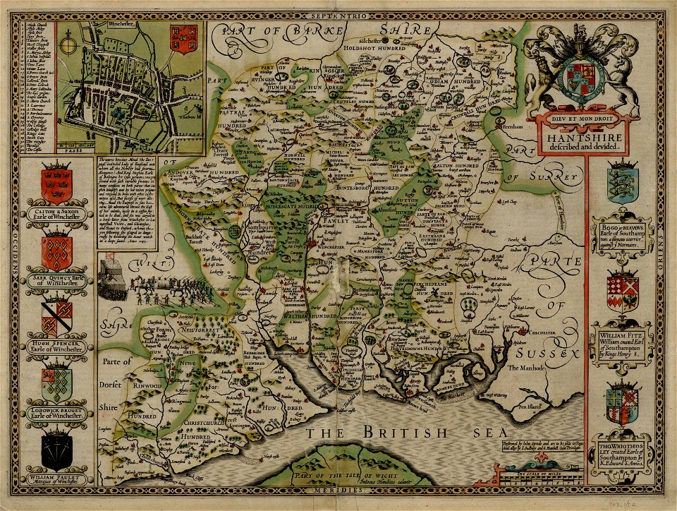
county maps of england by john speed
old county maps of hampshire
maps in the library of congress
a. hoen & co.
maps in the library of congress
a. hoen & co.
maps in the library of congress
new york
olfert dapper
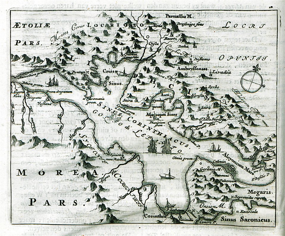
morea
collections of generallandesarchiv karlsruhe
1680 maps of baden-württemberg
der neue brockhaus 1937
maps by brockhaus
17th-century maps of italy
description de l'universe
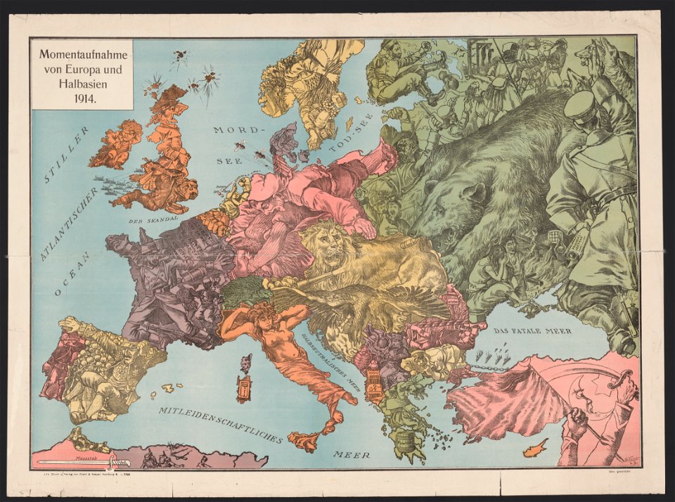
20th-century satirical maps
1914 maps of europe
maps in the library of congress
new york
maps by willem and johannes blaeu
montfoort
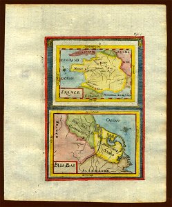
17th-century maps of france
description de l'universe
maps by jodocus hondius
samuel purchas
maps in the library of congress
1884 maps of new york (state)
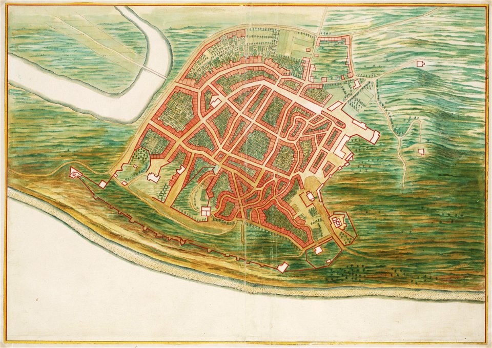
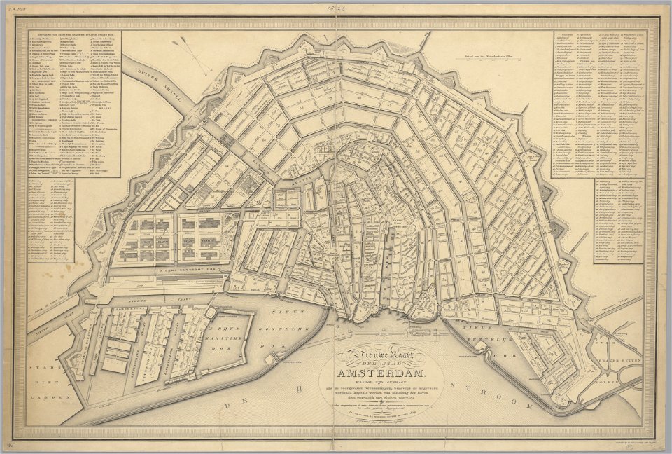
maps in the stadsarchief amsterdam
old maps of amsterdam
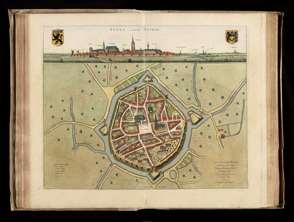
flandria illustrata
veurne
maps in the library of congress
1887 maps of new york (state)
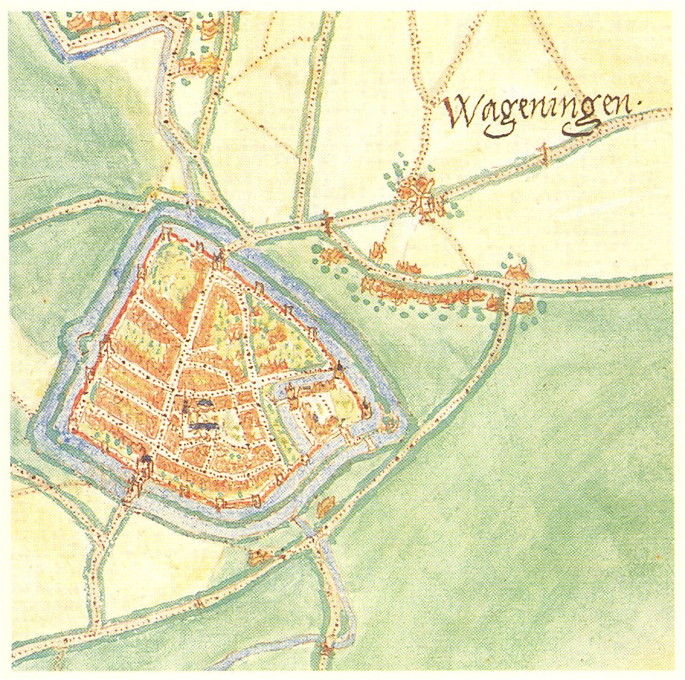
maps by jacob van deventer
history of wageningen
5501 - 5600 of 40,080
Next page
/ 401